Download the results
The results are available from these places:
| You need | Get it from |
|---|---|
| The cells that reach your volunteer share, as GeoJSON, for labelling | Download cells in the results map, see View the results |
| The project's export files, with every answer of every volunteer | The MapSwipe website for production projects, or the MapSwipe API for stage and production, see Get the export files |
The results map reads the Aggregated Results export file of the project, so its cells come from the same counts.
When the results appear
After a volunteer saves a group, MapSwipe updates the project's export files. On stage the files were updated two minutes after the group was saved.
Get the export files
From the MapSwipe website (production)
Each production project has a page at https://mapswipe.org/en/projects/<firebase id>/ with a Download the data section. The address of that page is the project link. To open it from the website:
- On the MapSwipe data page, under Explore the data, type part of the project title in Search by project title.
- Click the project. Its page opens, and the address in the browser is the project link.
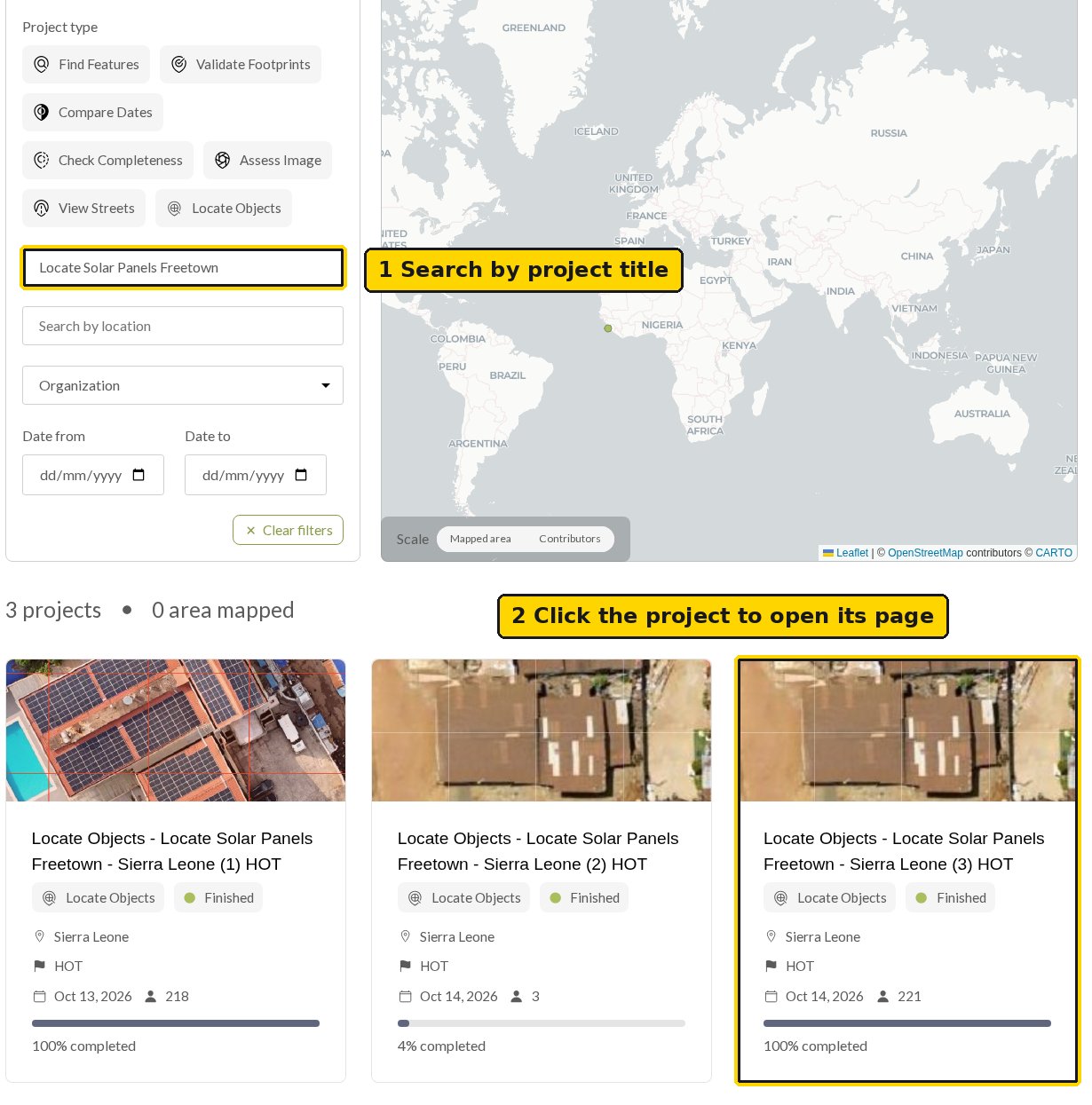
To build the link from the manager:
- In the manager, open the Projects page and find the project.
- Copy the Firebase ID from the project's entry and put it in place of
<firebase id>in the link.
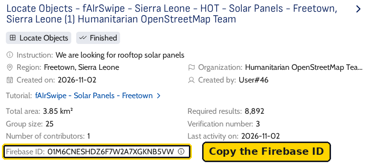
The website is rebuilt every six hours (source), so a new project's page can take that long to appear. The screenshot below is from a finished production project.
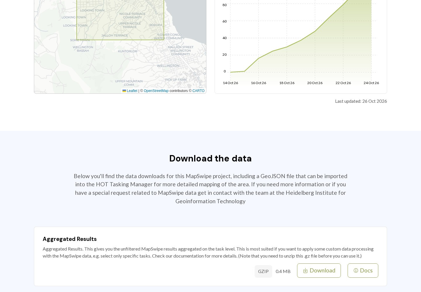
From the MapSwipe API (stage and production)
The stage website (https://website-stage.mapswipe.org/) may not list new stage projects. Any project's file links are also available from the MapSwipe API without signing in. Open this link in the browser, after changing 923 in it to your project number (the number in the manager address, /project/<number>/edit):
List the result files of stage project 923
The browser shows a short JSON text with one url per file. Open a url to download that file. For production projects, change backend-stage.mapswipe.org in the link to backend.mapswipe.org.
The files
Most files are compressed (.gz). Unzip them before use.
| File | Content |
|---|---|
| Aggregated Results | One row per tile cell, with how many volunteers gave each answer (CSV) |
| Aggregated Results (with Geometry) | The same rows as GeoJSON |
| Results | Every answer of every volunteer |
| Tasks | The project tiles |
| Groups | The groups and their progress |
| Users | Contributor statistics for the project |
| History | Daily progress |
The MapSwipe data documentation describes each file.
Reading Locate results
Each tile is exploded into one row per cell. These columns matter most:
| Column | Meaning |
|---|---|
task_id |
The tile, as zoom-x-y, for example 20-485867-499535 |
task_partition_index |
The cell, counted row by row from the top left, starting at 0 (source). In a 4x4 grid the first row is 0 to 3 and the last row is 12 to 15 |
0_count, 1_count, 2_count |
How many volunteers answered No, Single Feature and Multiple Features |
0_share, 1_share, 2_share |
The same counts as shares of total_count |
total_count |
How many volunteers answered this cell |
url |
The imagery tile |
A row from the Freetown example, where 17 of 20 volunteers marked solar panels in cell 1. The project leaves out Multiple Features, so the file leaves out the 2_count column. The row shows only the columns above; the file has more:
Geometry is the whole tile
In the GeoJSON file, every row carries the polygon of the whole tile, not of the cell. Use task_partition_index with the sub-grid size to find the cell inside the tile.