fAIr
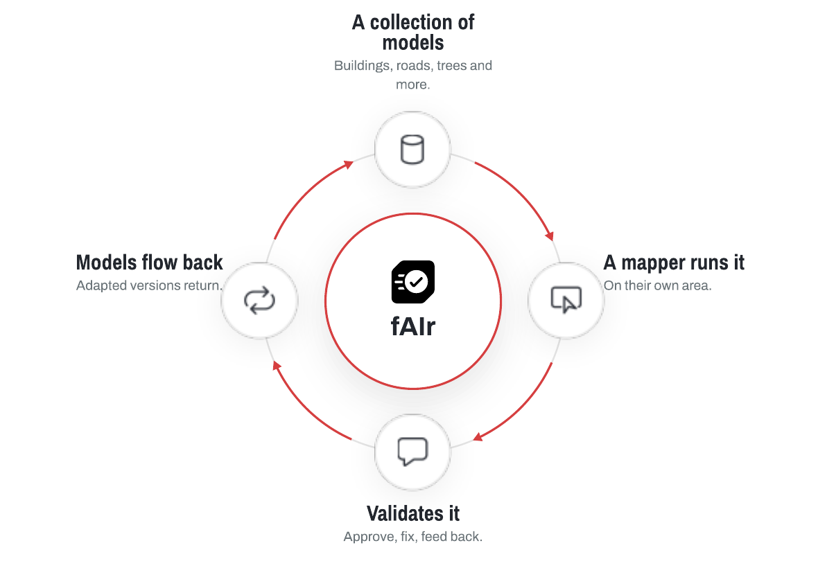
fAIr is an open, AI-assisted mapping service for humanitarian and development work, from the Humanitarian OpenStreetMap Team (HOT). It is a marketplace and connector for geo-AI models: a mapper picks a model, runs it over their own area to detect features such as buildings or trees, reviews the results, and can adapt the model to local conditions. A mapper stays in control at each step.
The software is free and open source. Predictions are suggestions for a mapper to review, and a mapper chooses what to add to OpenStreetMap.
Download the fAIr explainer (PDF)
Where fAIr is today
fAIr has grown into an open collection of community-validated models, and is being connected with MapSwipe for training and validation. See Vision for adoption and the direction ahead.
Who it is for
-
Mapper
Picks a model and runs it on their own area, then validates the results.
-
Advanced user
Retrains a model for their area and publishes the local version.
-
Developer
Writes new geo-AI models and adds them to fAIr for others to use.
Start here
-
What is fAIr
What it is and why it exists.
-
How it works
The model loop and the data pipeline.
-
Models
What fAIr can map, and the open model catalog.
-
Using fAIr
Step-by-step guide to run a model and validate the results.
-
Developer setup
Run the full stack locally and start iterating.
-
Datasets
Published training and prediction data.
-
Roadmap
History and what is planned next.