Using fAIr
This guide covers running a model on your own area with the current version of fAIr at dev.ai.hotosm.org. It is aimed at mappers and community project managers.
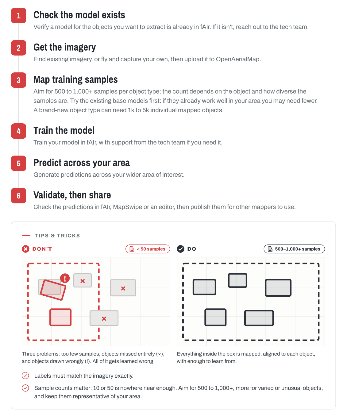
Running a model works in the interface today. Creating datasets and training local models works through the API; the My Datasets and My Models screens are planned.
Before you start
- An account: sign in with your HOT account.
- Imagery of your area on OpenAerialMap or another open TMS source, at very high resolution (the buildings model expects about 30 to 50 cm per pixel).
- If you are new to mapping, the Tasking Manager guide is a good start.
Run a model on your area
- Open fAIr and select Start Mapping.
- Pick a model from Samples, or choose Custom setup to pick your own feature and location. Change imagery switches to your imagery.
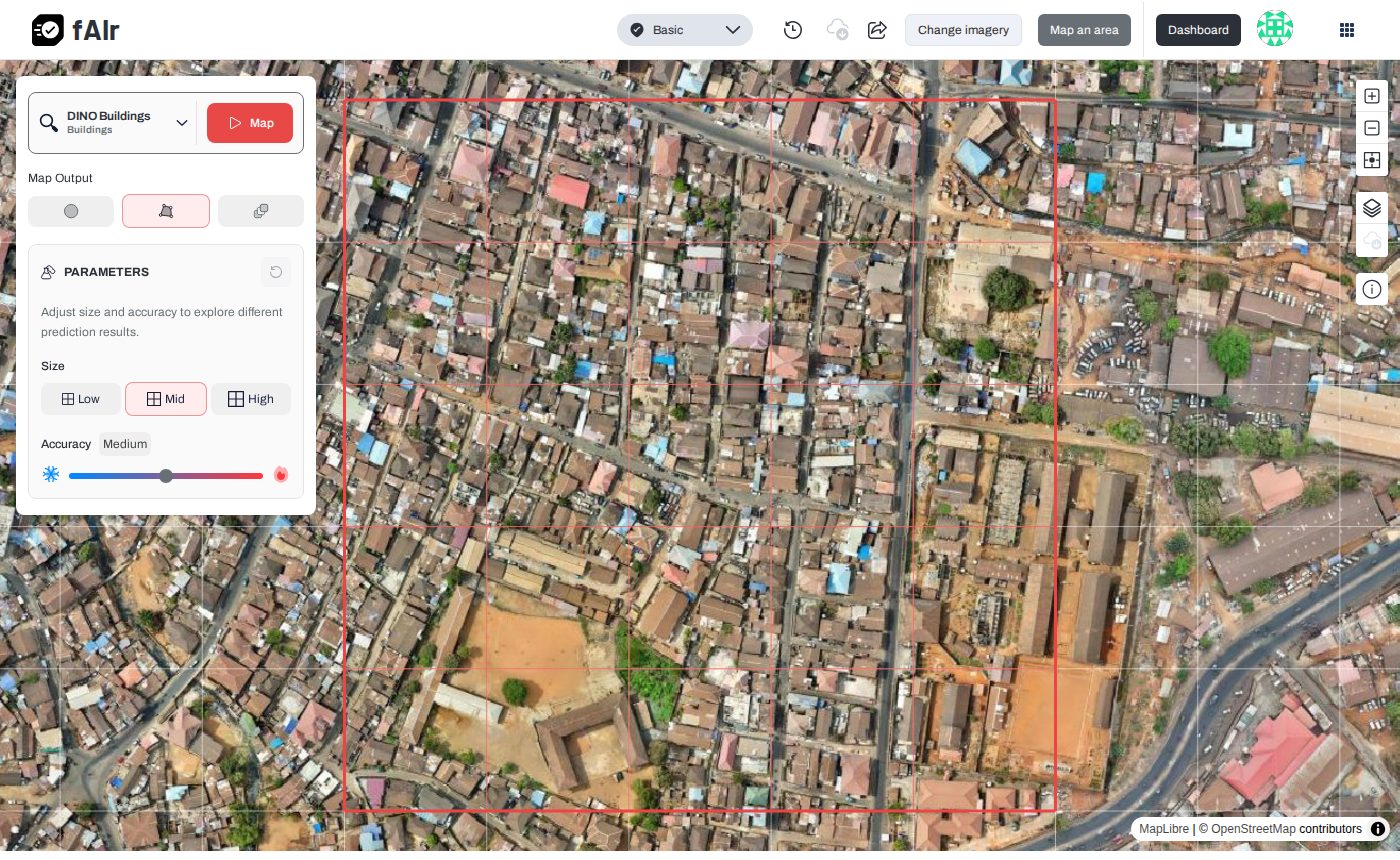
- Select Map. The predictions appear on the map; adjust Size and Accuracy to compare results.
- For a larger area, select Map an area, then draw or upload the area. This sends a map request that runs in the background.
- Open Prediction Requests from the profile menu. Each map request shows its status; select View result to see it on the map and download it as GeoJSON.
To check the results at scale, see Validation.
Help and Support
If you encounter any issues or need assistance while using fAIr, you can access the following resources:
- Check the FAQs.
- Ask the team on Slack: find #fair-coord at slack.hotosm.org.