User bases
People meet fAIr at three levels. Each one draws from the same model collection and feeds something back, so the work keeps improving.
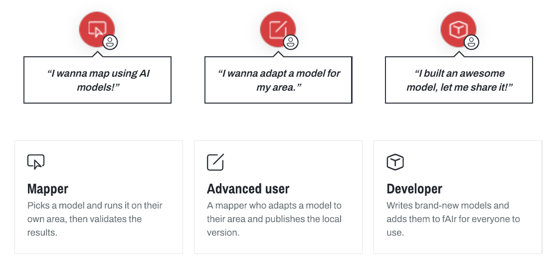
Mapper
"There is a model out there. Let me see how it works in my area."
A mapper runs an existing model and reviews what it finds.
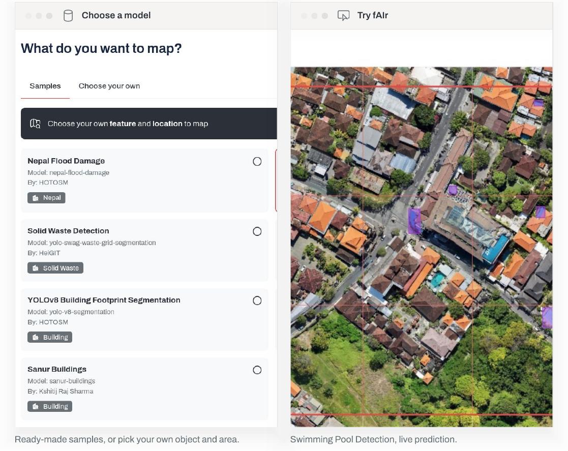
- Sees a model. Browses the collection for one that fits: buildings, trees, swimming pools, solid waste, and more.
- Runs it. Points the model at their own area and lets it detect features.
- Gets results. Predictions come back as GeoJSON, ready for the map.
- Validates. Checks each result. Feedback improves the model.
Validation can happen by hand, in the field, or at scale; see How it works.
Need a model for a different feature? Ask the team in #fair-coord on Slack.
Advanced user
"This is good, but tuned to my area it would work better."
An advanced user is a mapper who retrains a model for their own area and publishes the local version.
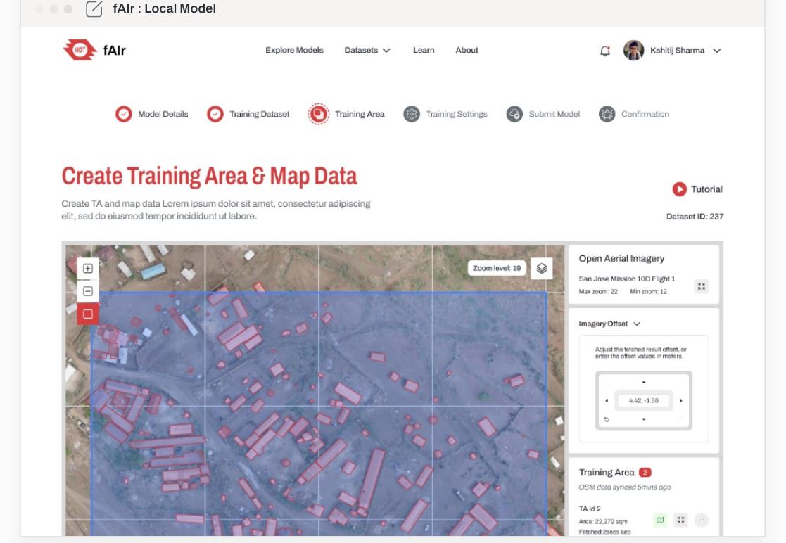
- Picks a model. Starts from one already in the collection.
- Creates a training area. Sets up an area and maps example features there.
- Maps it and retrains. Feeds the local examples back into the model.
- Publishes. The tuned local version returns to the collection for the next mapper.
The full step-by-step is in Using fAIr, and Register a base model covers publishing.
Developer
"I built a model that maps a new feature. I want to share it."
A developer writes a new geo-AI model and adds it to fAIr.
- Writes the model. Builds and trains a new model, for example one that maps a feature not yet covered.
- Adds it to fAIr. Publishes the model to the collection with a clear name and the features it detects.
- Available to everyone. From that point, any mapper or advanced user can run it.
Models are contributed through a pull request to the fAIr-models catalog; see Models for what to contribute and ML pipeline for how registration works.